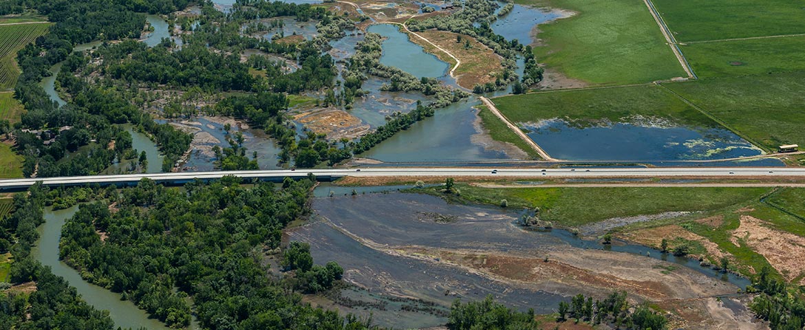
The baseline and responsive documentation-and immediate dissemination-of technical (aerial, hyperspectral, etc.) imagery of flooding is tremendously practical.
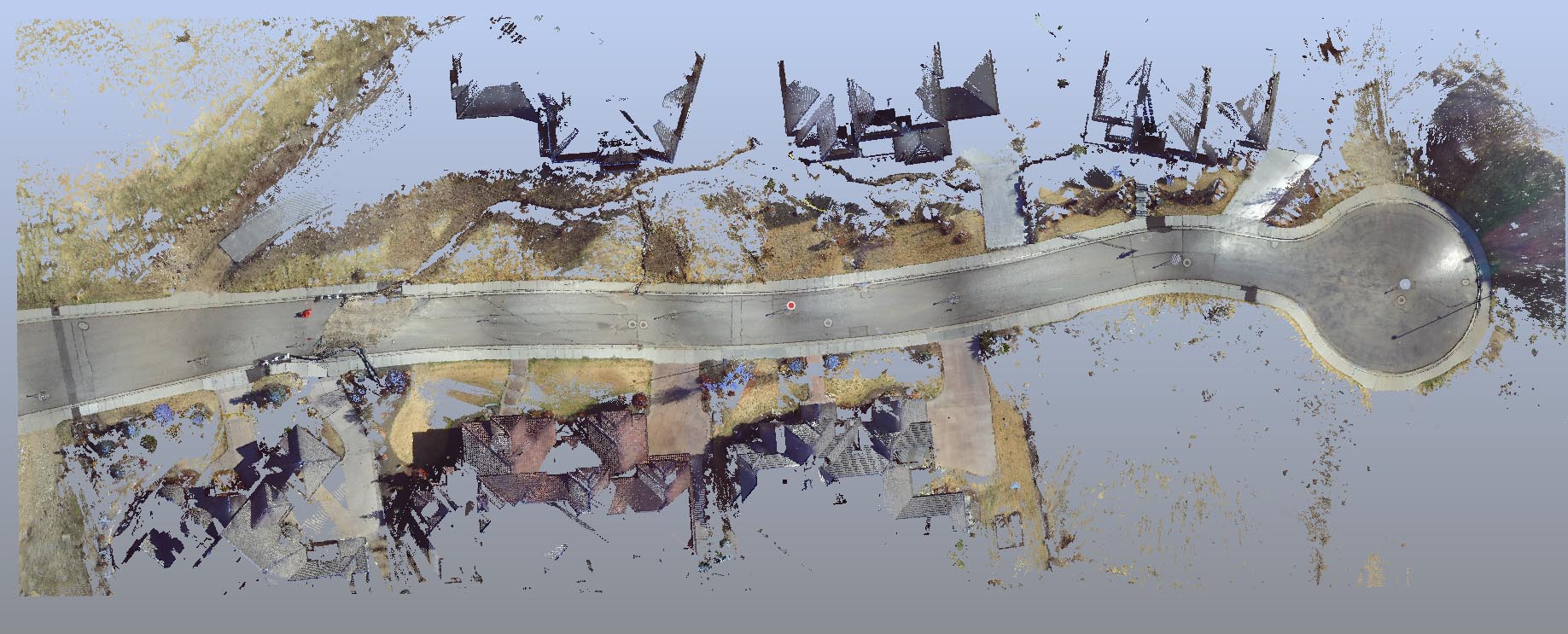
Forensic LiDAR and “engineering grade” or “survey grade” LiDAR (LASER Scanning) are very different things. Applications in which engineering and survey LiDAR conventions are manifestly deficient include litigation and its ADR cousins (mediation, arbitration, etc.).
There is no excerpt because this is a protected post.
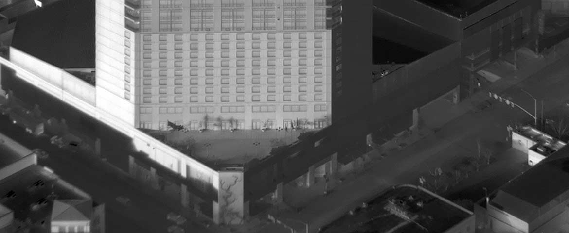
The images below represent some interesting results from both vertical (orthogonal) and oblique aerial thermography throughout 2018.
Photographically-generated Point Clouds may be a profound liability in a forensic/contentious or other otherwise critical application.


