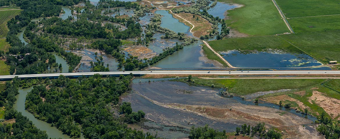
The baseline and responsive documentation-and immediate dissemination-of technical (aerial, hyperspectral, etc.) imagery of flooding is tremendously practical.
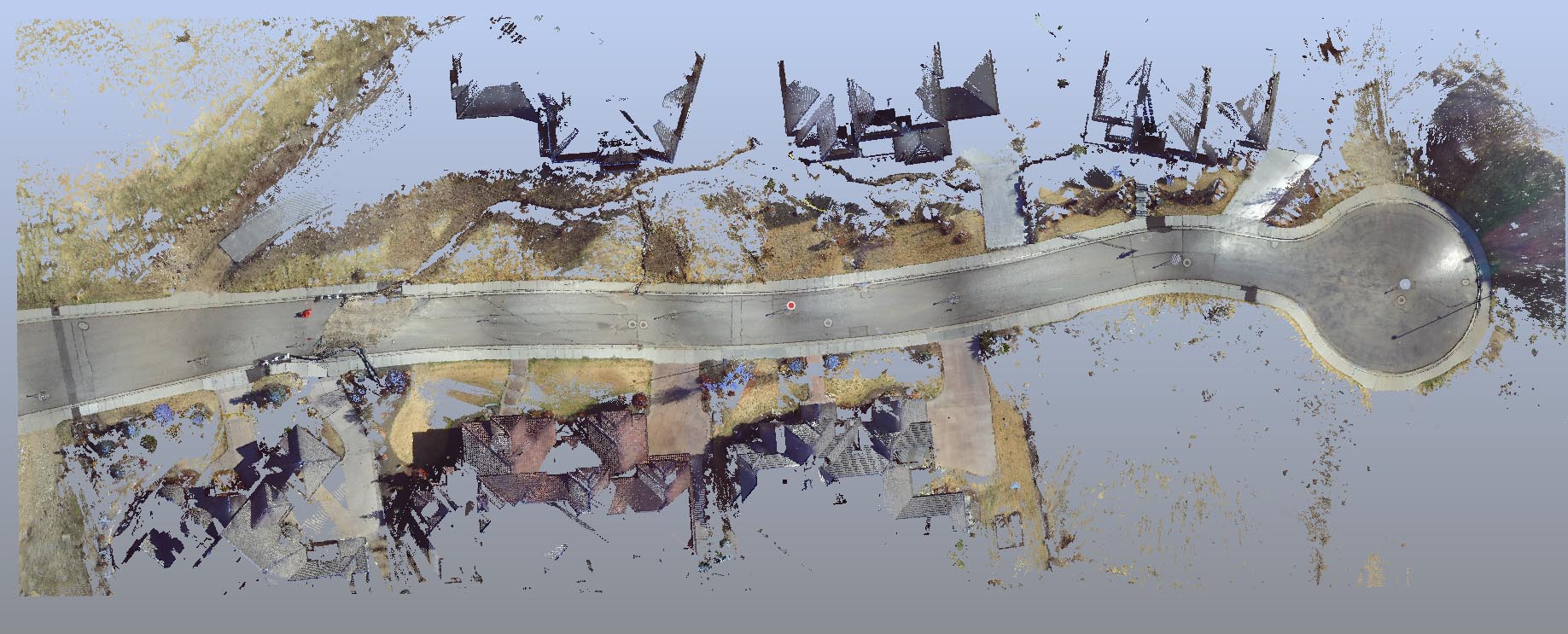
Forensic LiDAR and “engineering grade” or “survey grade” LiDAR (LASER Scanning) are very different things. Applications in which engineering and survey LiDAR conventions are manifestly deficient include litigation and its ADR cousins (mediation, arbitration, etc.).
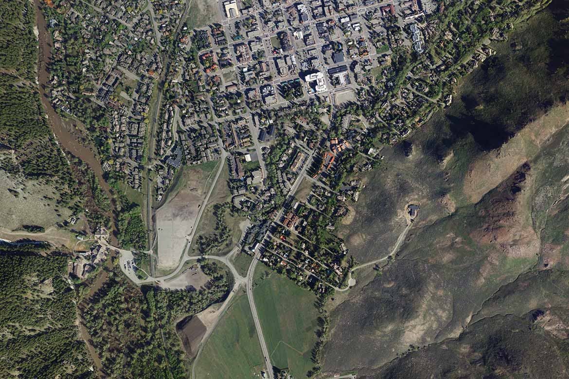
Mapping metrologic data assets is frequently necessary, particularly with hyperspectral (other than visible band) imagery and spatial data sets such as LiDAR; the images simply aren’t accessible or recognizable by the general population using ordinary software.
Photographically-generated Point Clouds may be a profound liability in a forensic/contentious or other otherwise critical application.


