The baseline and responsive documentation-and immediate dissemination-of technical (aerial, hyperspectral, etc.) imagery of flooding is tremendously practical.
“Leaf-off” baseline data provides an excellent basis for comparison on a year-to-year basis. Such portfolios should be produced as soon as a flood season is expected, after snow accumulations are materially absent, and ideally prior to the densification of foliage.
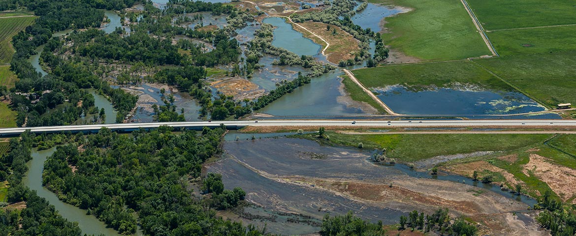
Mapping imagery-including classic aircraft-based coverage, LiDAR, sUAS (“drone”) video, etc. may be made immediately available to the public, municipalities, counties, LEO’s, first response community, media, and insurance interests via interactive mapping as demonstrated below.
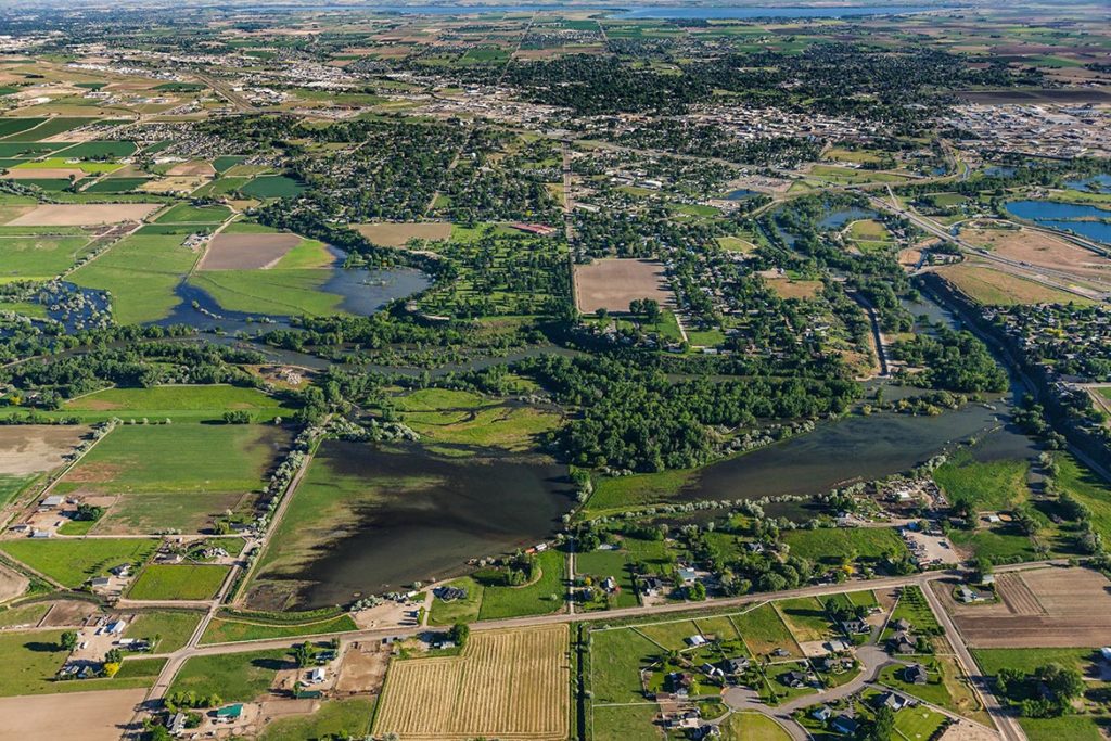
2017 Boise River Flooding Aerial Images Made Available via Interactive Map to Stakeholders-Including the Public-Immediately Upon Production (Same Day).
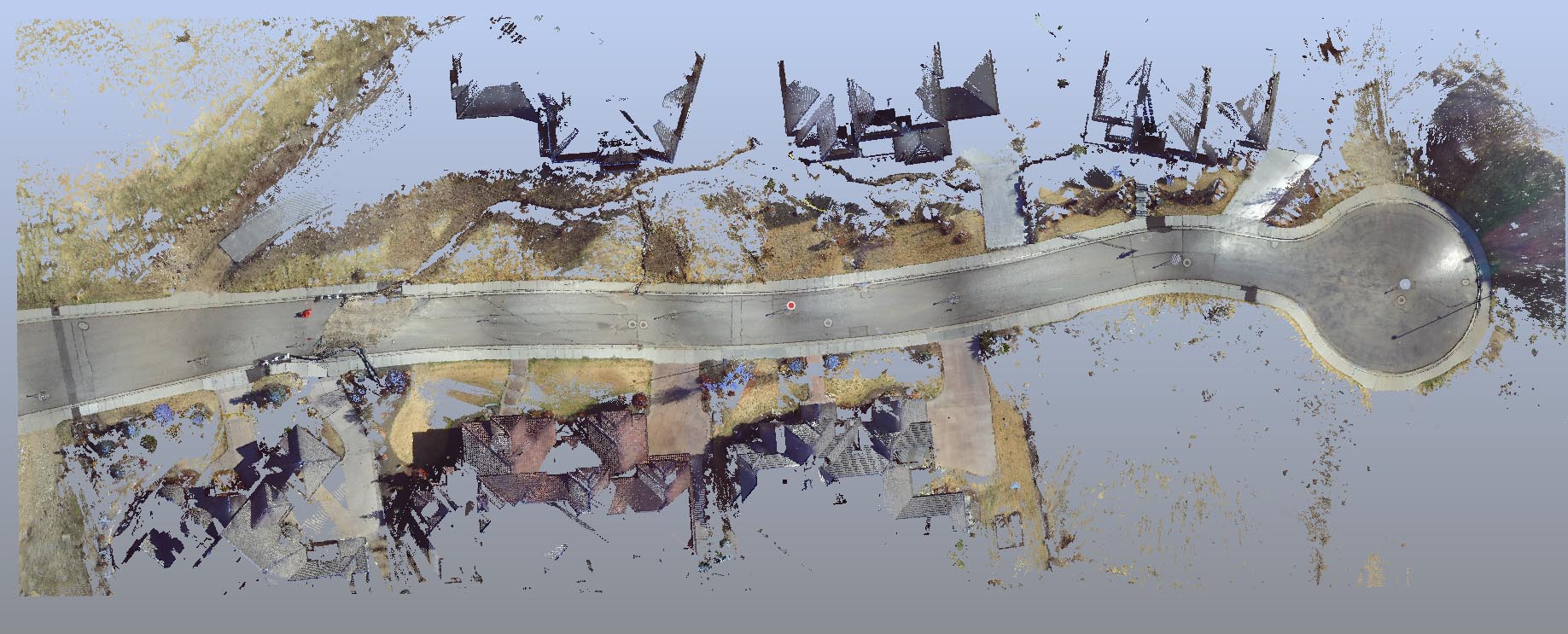
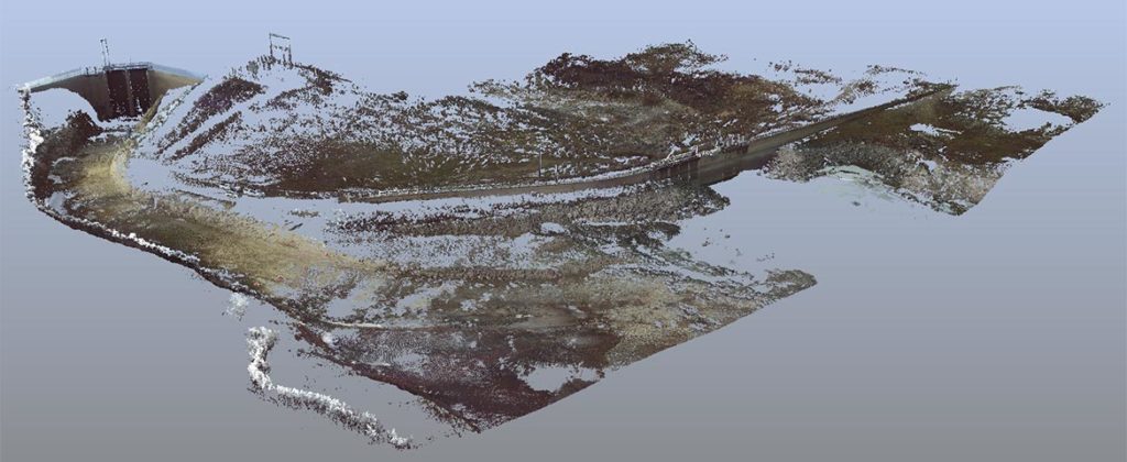
Nothing is so usefully descriptive of problematic locations and structures than terrestrial LiDAR; the accuracy and density are incomparable. This data set is bona fide LASER LiDAR, not SfM/”PhoDAR/Photographic data.”
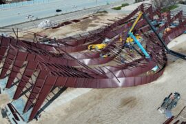
sUAS (“drone”) based stills and video are useful on localized areas for some types of visuals but are very rarely forensically fit; defensible sUAS datasets require skills and technical expertise unavailable via common operators; I recommend a minimum of material, relevant certification (e.g. a degree in remote sensing) in combination with trained and certified digital expertise, and a minimum of 5 years’ regular, methodical experience.
The difference between bona fide professional technical imagery and neophyte or “prosumer” productions is conspicuous when artifacts are contrasted and elucidated or tested in critical or contentious capacities.
Technically Proficient sUAS Operations Rely Upon Not Only Extensive Digital Competencies, But Solar Astronomy, Meteorology, Applied Optics, Color Science, etc.
It’s interesting to note that the ability of manned platforms to document wide areas at extreme resolution during static conditions (consistent flow rates) is underappreciated; for example, mapping the entirety of the Boise River from Lucky Peak Dam through Parma can be accomplished in about an hour! Dynamic weather conditions-especially localized clouding, high winds, and precipitation-only magnify the value of this capability.
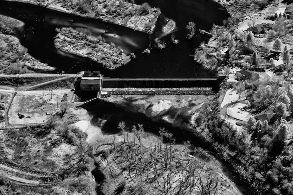
Solar near infrared energy is absorbed by water and aggressively reflected by thriving vegetation, producing strong contrasts that aid in identifying water frontiers or playing an important part in NDVI assays.
L
